They say the unexpected is often some of the best, this wee dauner happened to be something of the sort.
I have a wee penchant for looking at maps, and previously whilst looking over a map at a walk I fancied trying, I stumbled across Standing Stones in an area that I often find myself. Standing Stones which I knew nothing of their existence.Well this sparked a wee interest to find out more, after a little research I would learn these Stones are to be known as ‘The Machar Stones’.
The Stones are located East of the Crow Road [B822] in the Campsie Fells and can be located on OS Map 384, GR 657 839. There are two ways to reach the Stones. The first and route that my father and I used was from the Todholes Car Park at the West end of the Carron Valley Reservoir.The second would be to park at the layby on the Crow Rd, GR 643 833 and walk down the track towards Waterhead Farm before cutting off just after you cross the River Carron, then continue East before leaving the track, where after a few hundred yards you’d be required to cross the Bin Burn. This would then be followed with some impressive navigation through the fire breaks of the Carron Valley Forest. For me, a Todholes start would win every time.
It was a late start, well later than normal, this probably helped in getting a parking space as there was some dubious parking on the verges, no roads or openings were being blocked and may I add this isn’t a moan about parking, but it was a definite sign that it was a full house at the car park earlier in the day. Parked up, boots on and we were set for the off, Machar Stones here we come.
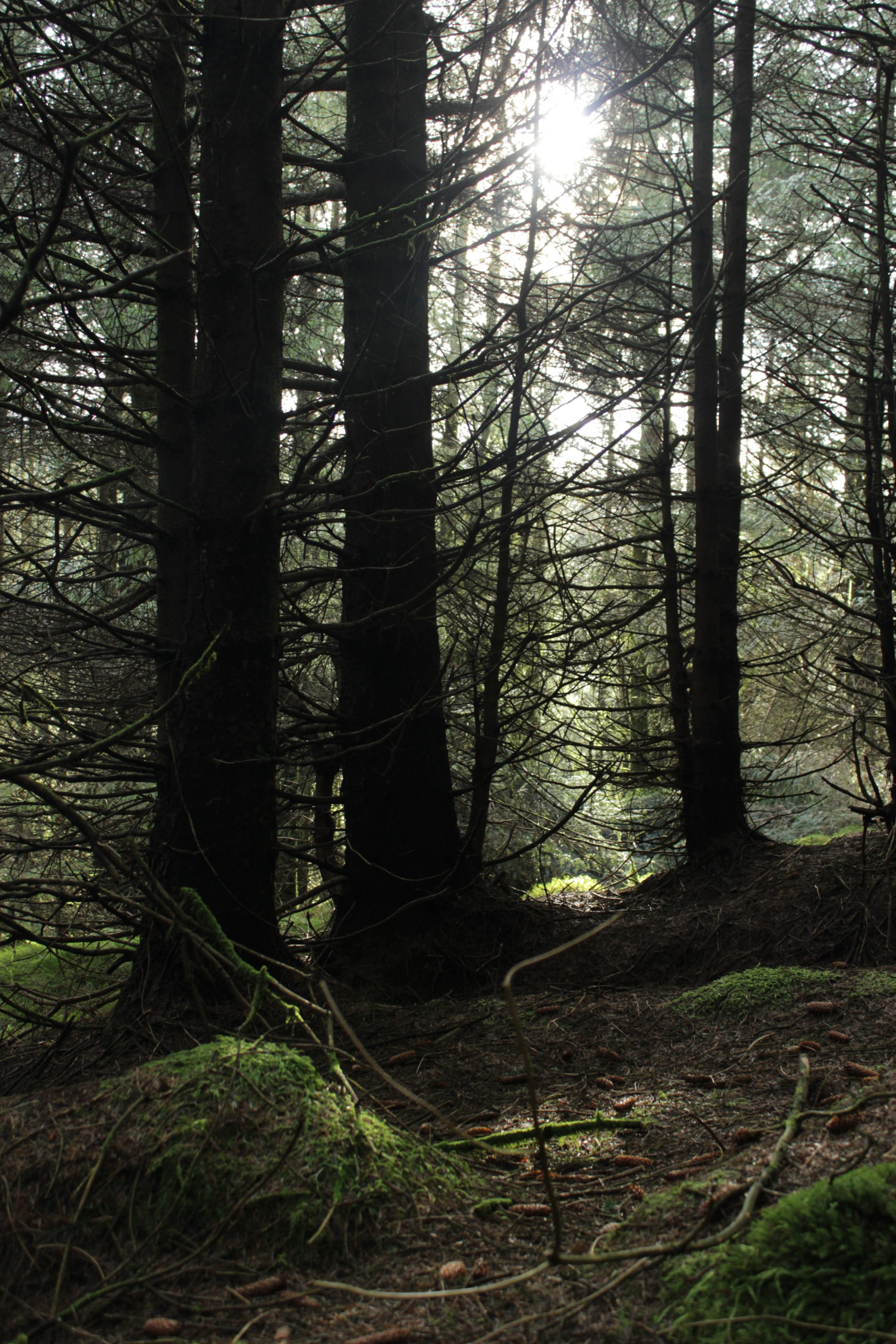
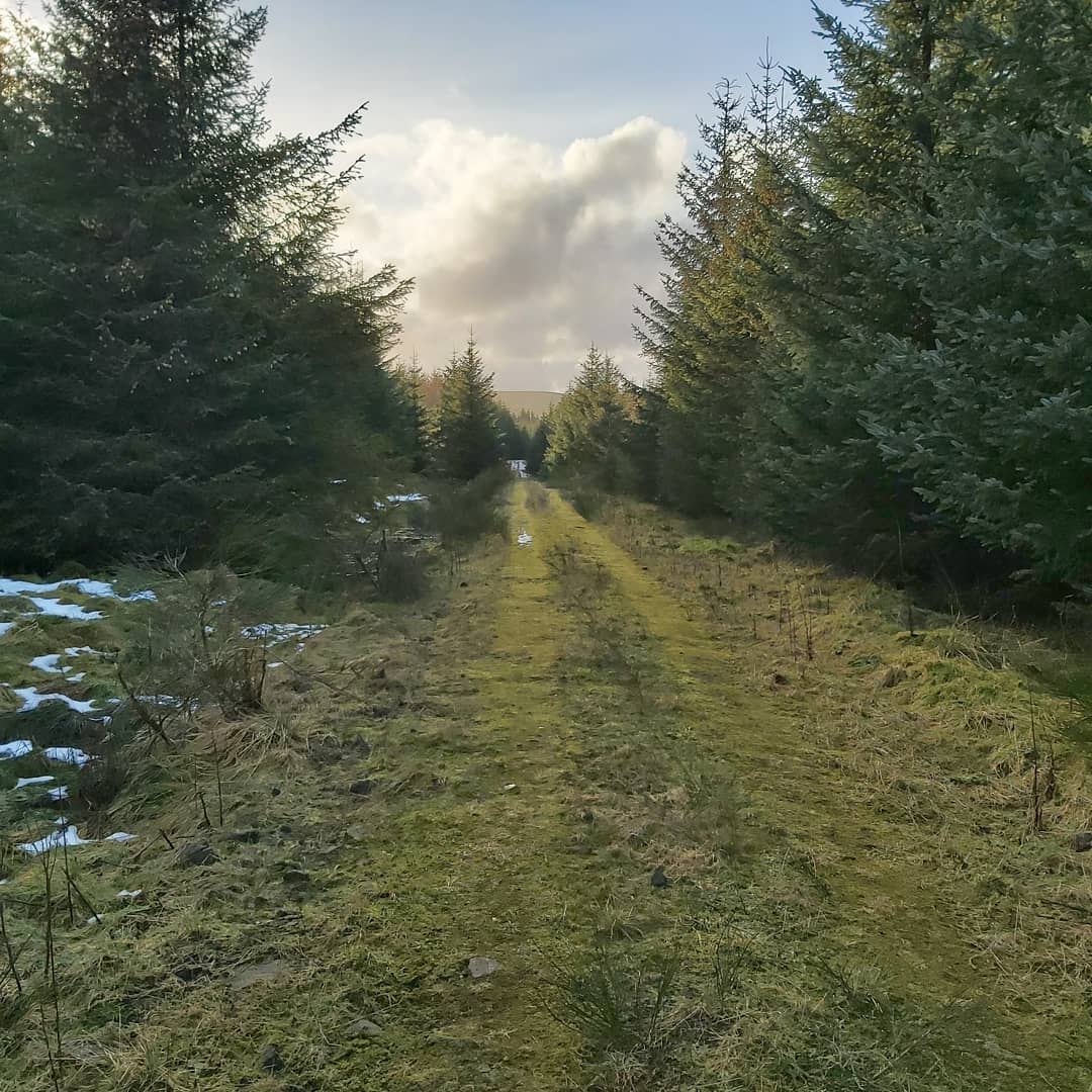
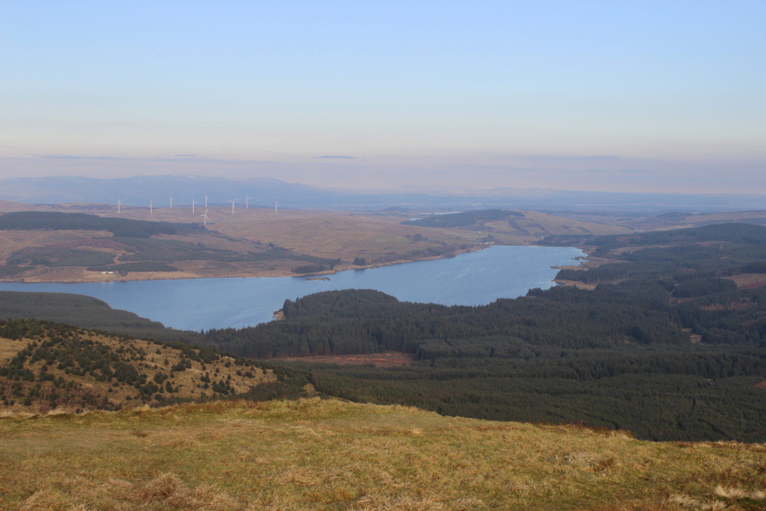
Trees Leaving the Todholes Car Park, off we dauner, my father and I, following the Forestry Commission track which heads more or less due South. It’s an easy walk pretty much all the way, well for as long as your on the track, which after is the majority of the walk with the exception of the final few hundred yards. Anyway, you stay on the track ignoring several tracks that lead off to the right, you then cross a bridge over the River Carron which joins reservoir a short distance down stream. This section of the walk has nice glimpses of the reservoir and is reasonably open supplying some nice views. Shortly after the bridge the track splits, the left fork (currently closed for felling works) follows the South bank of the Carron Valley Reservoir and if continued along will terminate at the Carron Valley Forest Car Park and Duncarron Medieval Fort Museum. On this occasion though, it would be the right fork and walking around 500yds before we take another right, if I was to continue ahead here, keeping right at one last junction it would take me to the Meikle Bin. Anyway, as said, after the bridge it’s a right and then right again and follow the track as far as it goes, which is just short of a mile. At the end of the track there is a fire break to the right (North) which you drop down a wee embankment from the track to get onto. Follow this for about 200yds before bearing West North West for another 200yds and it’s as simple as that.
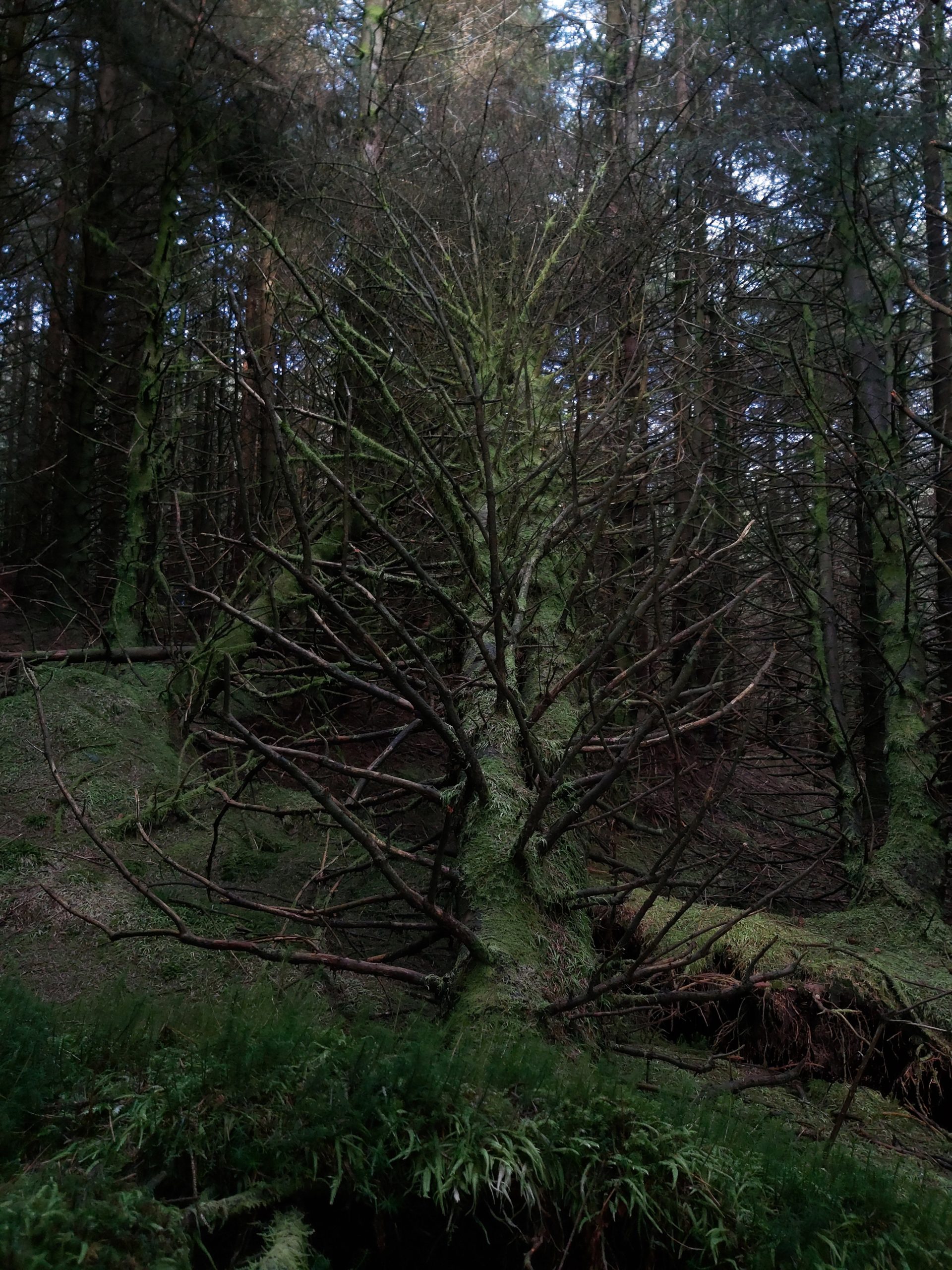
As simple as that”, yeah right, not likely! The firebreak route is, ever so slightly overgrown and has the odd fallen tree, GPS is a great help (even Google Maps works), but locating the Stones is doable without it.
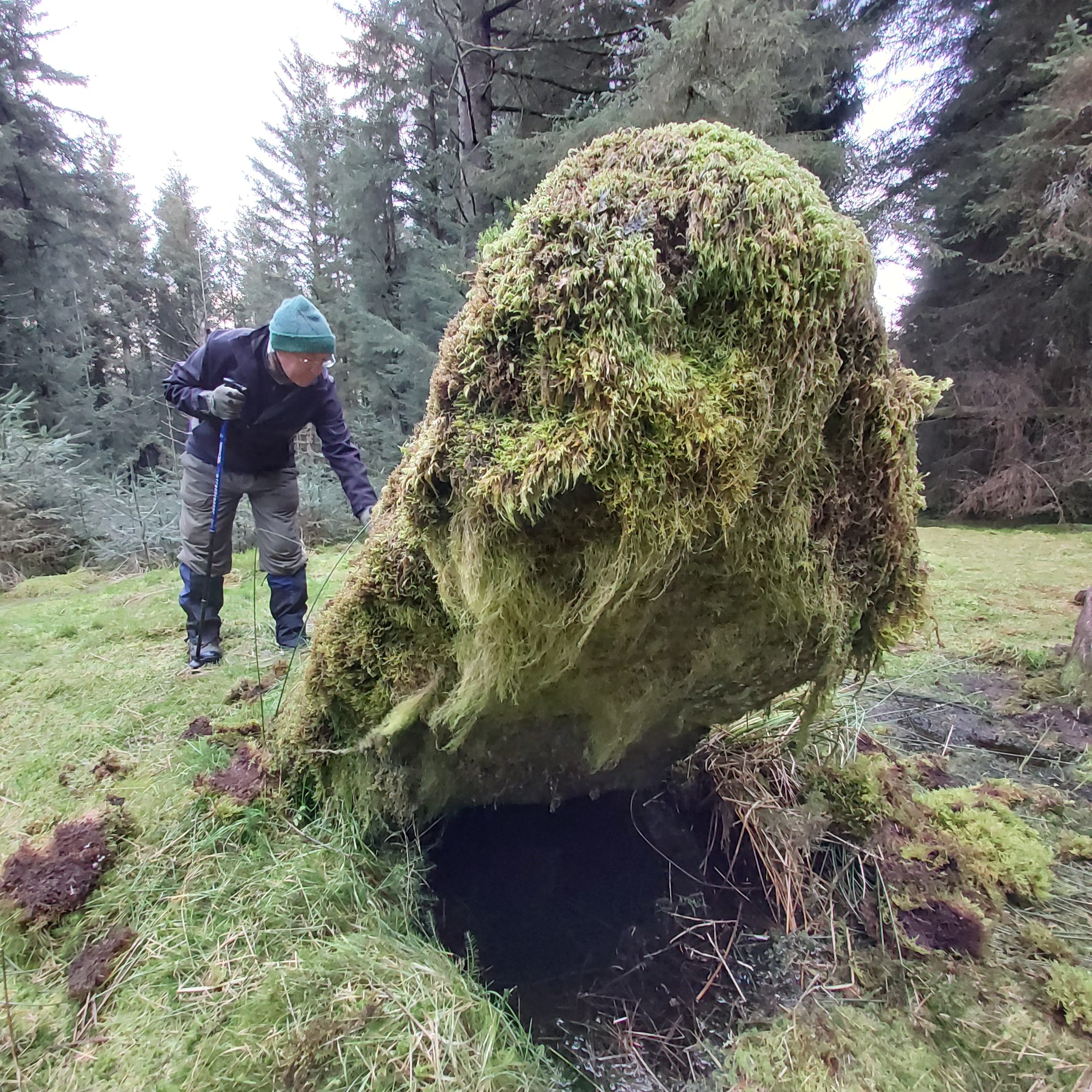
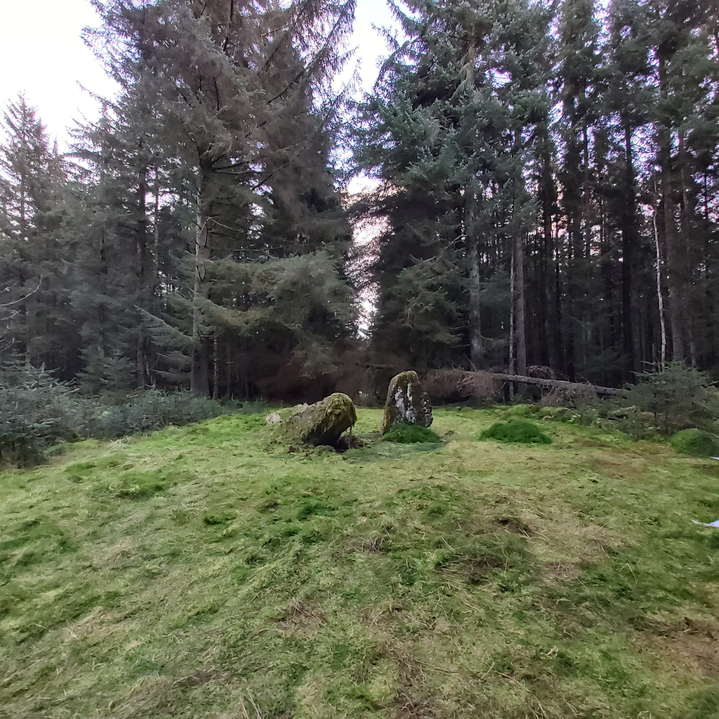
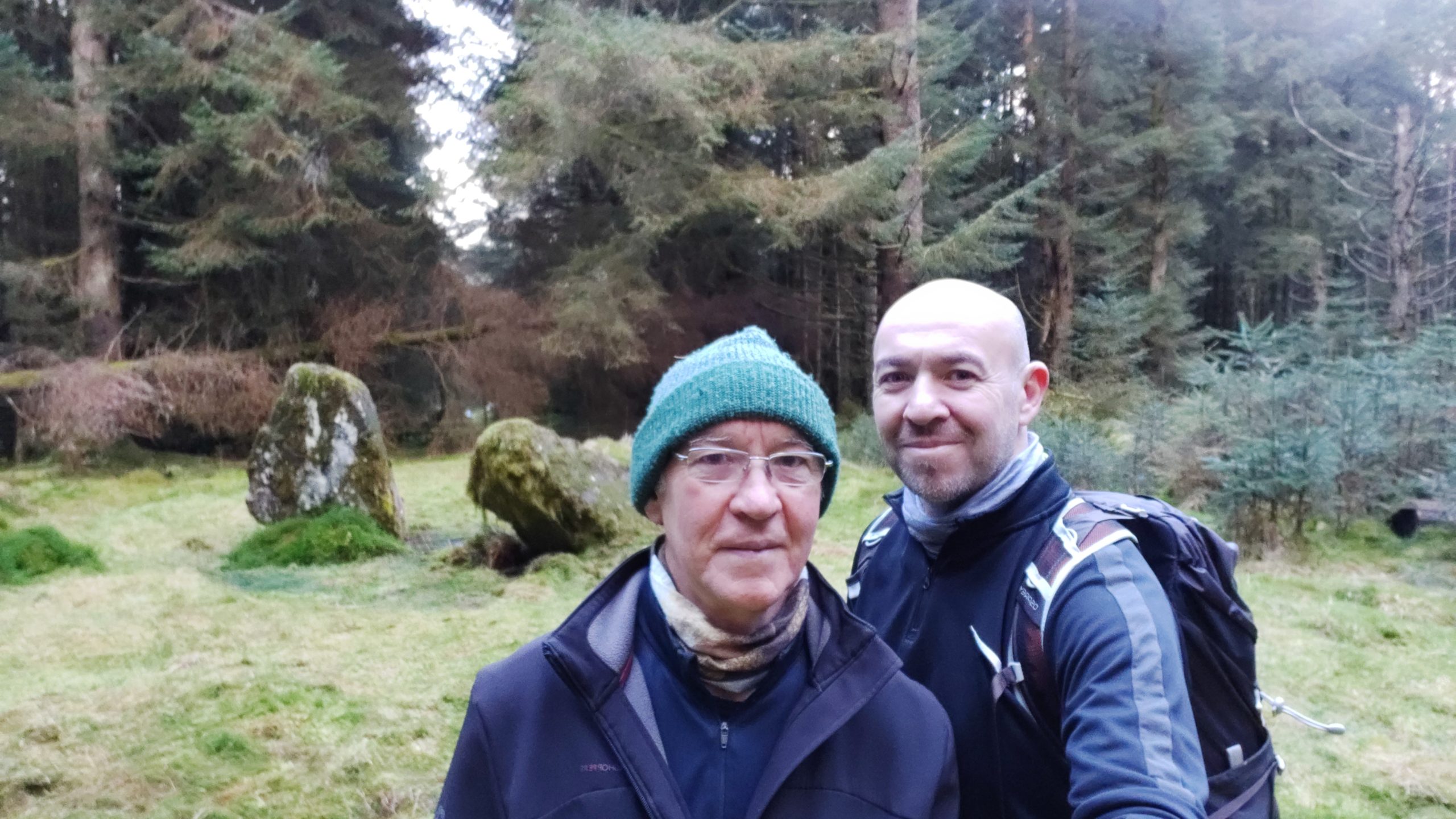
The Stones themselves, sit in a small clearing, the taller which is said to be around 8′ in length now lies at an angle of around 40° and the smaller just over 5′ stands upright. Pre forest, the Stones were said to have commanding views and looking at the contours lines on the OS Map it would be difficult not to imagine this, with the views East over the Carron Valley and particularly North West over the Endrick Valley to Ben Lomond and the Arrochar Alps beyond. The larger of the Stones is said to have cup markings, I think it is seven of these markings which are believed to be etched on the lower face of the stone which would generally make these difficult to locate. I couldn’t identify any discernible markings. In my defence (ignorance) I did look all over the sides and top, because; “Who would look on the bottom, right?”
The Stones themselves, sit in a small clearing, the taller which is said to be around 8′ in length now lies at an angle of around 40° and the smaller just over 5′ stands upright. Pre forest, the Stones were said to have commanding views and looking at the contours lines on the OS Map it would be difficult not to imagine this, with the views East over the Carron Valley and particularly North West over the Endrick Valley to Ben Lomond and the Arrochar Alps beyond. The larger of the Stones is said to have cup markings, I think it is seven of these markings which are believed to be etched on the lower face of the stone which would generally make these difficult to locate. I couldn’t identify any discernible markings. In my defence (ignorance) I did look all over the sides and top, because; “Who would look on the bottom, right?”
The name ‘Machar Stones’ comes from the Gaelic for ‘low lying plain’ or ‘low lying fertile plain’, again probably Anglicised from the original where the spelling would more than likely have been ‘Machair’, the Scots Gaelic spelling. As the location of the Stones is on a hillock it can only be assumed that the name was derived from their position looking over the Endrick and Carron Straths. These Megaliths are believed to be Neolithic in origin and possibly relate to Druidry, with the first mention of these Stones being recorded in the early 1800’s and in various studies from then on. Beyond this however, there is not much more known about these Standing Stones, that I could find anyway.
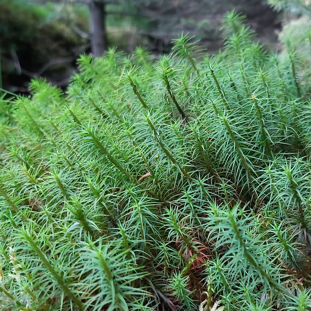
As can be seen in many of the pictures, the nature of the landscape is now dominated by non native Sitka Spruce, with approximately 85% of the valley now forested, only 5% of this being native broadleaf, much of this hug the banks of the reservoir.
There is plenty of bird life for any twitchers out there also, during the summer months there is always a good chance of catching sight of the Osprey which has been returning to these parts for a number of years now.
Thoughts!
So, The Machar Stones! Are they worth a visit?
For me ‘yes’ they’re a winner, although views at the Stones themselves. Well….non-existent. The clearing is atmospheric though.
The walk in, how was it?
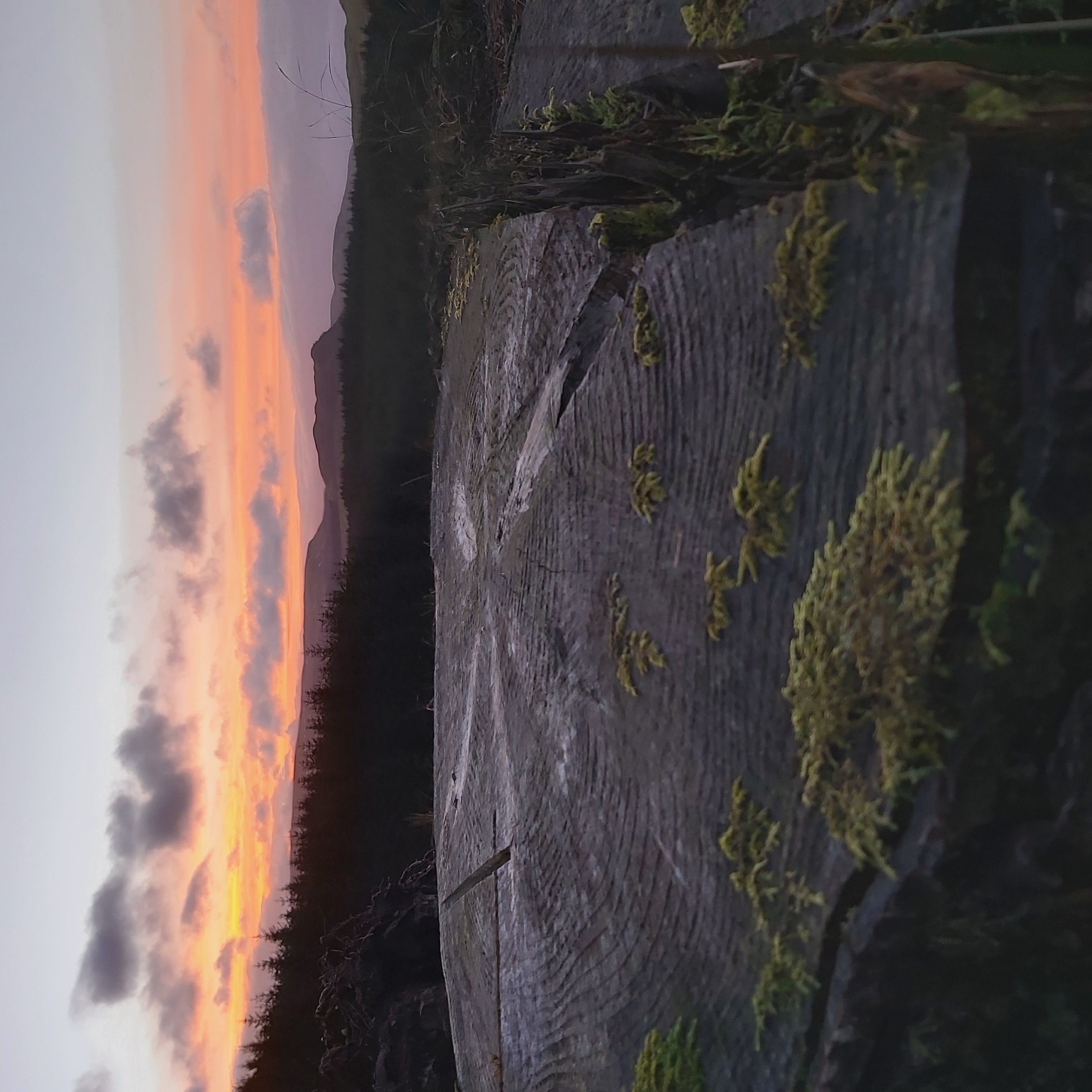
Pleasant, not too taxing, with the odd view that makes it what it is. To and from Todholes Carpark gives a walk of around 6 miles, this could be extended by taking in the Meikle Bin which for an average paced walker would add around another two miles and an additional hour to your walk. The views from the Bin on a clear day are worth the extra effort.
Additionally
Another easy stop a short distance to the East of Todholes Car Park which may be of consideration, is the remains of a 13th Century Castle, that of Sir John De Graham, friend of William Wallace. Also, the previously mentioned Duncarron Medieval Fort Museum, link below. It’s not hard to whittle away time in the Carron Valley, anything from a morning to afternoon or even the full day, if time allows. There are many miles of forestry track to walk, run or cycle, not forgetting the surrounding ranges for hill walkers of all abilities, the Kilsyth Hills, the Campsie Fells and the Fintry Hills. Then there is the fishing, the Carron Valley Reservoir holds native and stocked Brown Trout, stocked Rainbow Trout, as well as Powan. Powan is a freshwater whitefish and is reasonably rare in Scotland, initially thought to be found in only two lochs, Loch Lomond and Loch Eck, however, to prevent the loss of these fish, the Powan have been introduced to the Carron Valley Reservoir and Loch Sloy(Loch Lomand & Trossachs National Park).
Most of all, enjoy you visit to this area, no more than a stones throw from Glasgow, Stirling or Falkirk.
Below are some additional reading and links to sites I used when researching my walk: –
Duncarron Medieval Museum
https://www.duncarron.com/
Sir John De Graham, Forestry Commission
https://forestryadland.gov.scot/learn/heritage?id=957:sir-john-de-graham-castle
The Northern Antiquarian
https://www.thenorthernantiquarian.org/tag/astroarchaeology/
Trail Forks
https://www.trailforks.com/poi/35999/
Stravaiging
http://www.stravaiging.com/history/ancient/site/machar-stones
Additional information was gathered from Ordnance Survey Mapping, Bing Maps, Google Maps and the National Library of Scotland Maps (https://maps.nls.uk/)